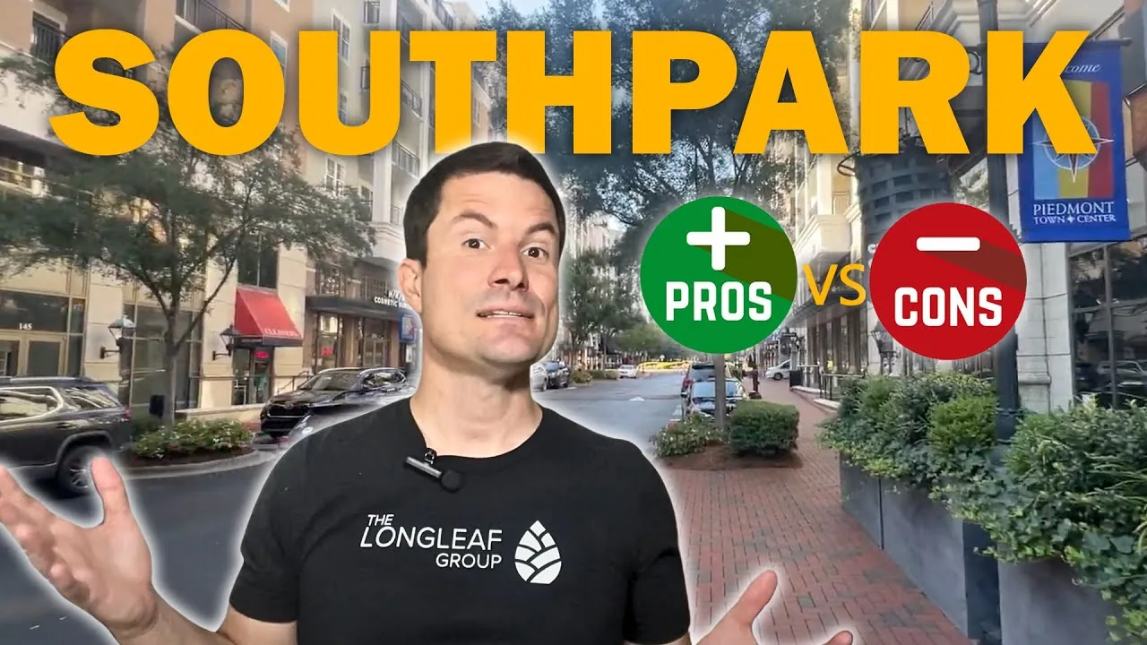
SouthPark is the most walkable place in south Charlotte, and it is not yet walkable. Walk Score rates it 66 out of 100, “somewhat walkable”, which is 27 points better than Ballantyne and still short of what the district is aiming at. The plan to fix that is real and funded in pieces. As of September 2026, about 1,842 feet of a planned three-mile trail exist.
Quick answer
SouthPark is a dense retail and office district inside Charlotte, built around a 1.7 million square foot mall running at 99 percent occupancy. It is trying to become a walkable urban centre by 2035, and it is early in that process.
- SouthPark Mall: 1,699,314 sq ft, 99.1 percent occupied at December 31, 2025 (Simon Property Group 10-K)
- The SouthPark Loop is about 1,842 feet built against a three-mile plan, roughly 12 percent
- Median sale price in ZIP 28211 was $850,000 in the 90 days to May 31, 2026
- Walk Score 66, against 39 for Ballantyne
- No light rail. The nearest Blue Line station is Archdale, 2.7 miles away
| Median sale price | $850,000 in ZIP 28211, 90 days ending May 31, 2026, on 125 sales |
|---|---|
| Property tax | Charlotte’s combined 0.7857 per $100 for 2026-27 |
| Walk Score | 66 out of 100, somewhat walkable, against 39 for Ballantyne |
| Light rail | None. Nearest Blue Line station is Archdale, 2.7 miles away |
| Drive to Uptown | 6.8 miles, about 15 minutes free-flowing |
| The anchor | SouthPark Mall, 1,699,314 sq ft, 99.1 percent occupied at December 31, 2025 |
The mall is the anchor, and it is doing fine
SouthPark Mall carries 1,699,314 square feet of leasable space and was 99.1 percent occupied at the end of 2025. That figure comes from Simon Property Group’s annual report to the SEC rather than a press release, which makes it about as reliable as retail data gets. Simon has owned it outright since 2002, under a fee interest plus a ground lease running to 2040.
The anchor list is unusual for 2026: Neiman Marcus, Nordstrom, Macy’s, Dillard’s, Belk, Dick’s Sporting Goods, Arhaus and The Container Store. Zara opened a two-story, 29,000 square foot location in December 2025. In an era of mall closures, a 99 percent occupancy rate on a property this size is the single most important economic fact about SouthPark.
The district around it is not only retail. Coca-Cola Consolidated has its corporate headquarters at 4100 Coca-Cola Plaza, inside SouthPark.
The walkability plan, and how far along it actually is
SouthPark Community Partners runs a vision plan called SouthPark Forward 2035, and its centrepiece is the Loop, a three-mile urban trail meant to stitch the district together. This is where you need to read carefully, because the gap between the plan and the built reality is wide.
| Segment | Length |
|---|---|
| Roxborough Parkway Drive | 400 feet |
| Carnegie Boulevard | 800 feet |
| Piedmont Row Drive | 642 feet |
| Total built | 1,842 feet |
| Planned | 3 miles (15,840 feet) |
Source: SouthPark Community Partners, checked September 6, 2026. Note the unit: these are feet, not miles.
That is about 12 percent of the plan, and no completion date has been published for the first contiguous mile. The related Backlot Trail, connecting the Cross Charlotte Trail toward McMullen Creek Greenway, opened its first phase in October 2023 and is the more useful piece for now.
None of this means the plan is failing. It means that if you are buying here because SouthPark is about to become walkable, you are buying a decade of construction, not a finished place.
Is light rail planned for SouthPark?
SouthPark has no LYNX station. Measuring from the mall against all 26 Blue Line stations, the nearest is Archdale at 2.68 miles straight line, about a nine-minute drive. The Blue Line runs along the South Boulevard corridor, two and a half to three miles west.
The proposed Silver Line is an east-west route through Uptown and the airport toward Matthews. It does not serve SouthPark either. For a district positioning itself as Charlotte’s second downtown, that is the structural weakness, and the transit score of 37 reflects it.
By car, Uptown is 6.8 miles at about 15 minutes free-flowing, and the airport 10.3 miles at about 22. Those are genuinely short by Charlotte standards and are the reason the district works despite the transit gap.
What does it cost to live in SouthPark Charlotte?
In ZIP 28211, the median sale price across all residential property was $850,000 in the 90 days ending May 31, 2026, at $364.74 per square foot, on 125 sales with a median 45 days on market. That was down 7.1 percent year over year.
Single-family alone showed $1,020,000, down 18.7 percent year over year. Do not read that as a market collapse. It rests on 94 sales, and a swing that size on that few transactions is almost certainly a change in what sold rather than a change in what homes are worth. Nearby ZIP codes moved the other way over the same period, with 28209 up 23 percent and 28210 up 14.3 percent.
Property tax is Charlotte’s: 0.7857 per $100 combined for 2026-27. Note that parts of the commercial core sit inside a Charlotte municipal service district that adds a further levy, but a municipal service district is a defined commercial area rather than a neighborhood, so do not assume a SouthPark home carries it. Check the specific parcel.
The tradeoff
SouthPark gives you the shortest drive to Uptown of anywhere in south Charlotte, the strongest retail anchor in the Carolinas, real restaurants within walking distance of some addresses, and a genuine plan to become more urban over the next decade.
The costs are equally clear. It is the most expensive residential ZIP code we cover. There is no rail and none coming, so the transit score of 37 is what you get. Sharon and Fairview carry serious traffic and the walkability plan is 12 percent built, which means the next several years bring construction rather than relief. And the Hines proposal for a 275-foot tower on Carnegie Boulevard, filed for rezoning in October 2025, signals more density arriving whether or not you wanted it.
For how SouthPark compares with the rest of the area, see SouthPark and Charlotte.
Frequently asked questions
Is SouthPark walkable?
Partly. Walk Score rates it 66 out of 100, “somewhat walkable”, the highest of anywhere in south Charlotte and well above Ballantyne’s 39. Some addresses are genuinely walkable to shops and restaurants; much of the district is not yet.
Does the light rail go to SouthPark?
No. The nearest LYNX Blue Line station is Archdale, about 2.7 miles away or a nine-minute drive. The Blue Line runs along the South Boulevard corridor. The proposed Silver Line does not serve SouthPark either.
How much of the SouthPark Loop is built?
About 1,842 feet across three segments, against a three-mile plan. That is roughly 12 percent. No completion date has been published for the first continuous mile. The figure is in feet, and it is often misreported as 1.8 miles.
Is SouthPark Mall struggling?
No. Simon Property Group’s annual report to the SEC put occupancy at 99.1 percent as of December 31, 2025, across 1,699,314 square feet, with Neiman Marcus, Nordstrom, Macy’s, Dillard’s and Belk all present and Zara added in December 2025.
What are property taxes in SouthPark?
SouthPark is inside the City of Charlotte, so the 2026-27 combined rate is 0.7857 per $100. Parts of the commercial core lie in a municipal service district carrying an additional levy, but that is a defined district, not the whole neighborhood, so verify the specific parcel.
Updated September 2026. Mall data from Simon Property Group’s 10-K for the year ended December 31, 2025. Loop segments from SouthPark Community Partners. Prices from the Redfin Data Center closed-sales file for the 90 days ending May 31, 2026. Walk Score and Blue Line station distances checked September 6, 2026. Tax rates from the FY2026-27 Mecklenburg County jurisdiction chart. Drive times from OpenStreetMap routing, free-flow.